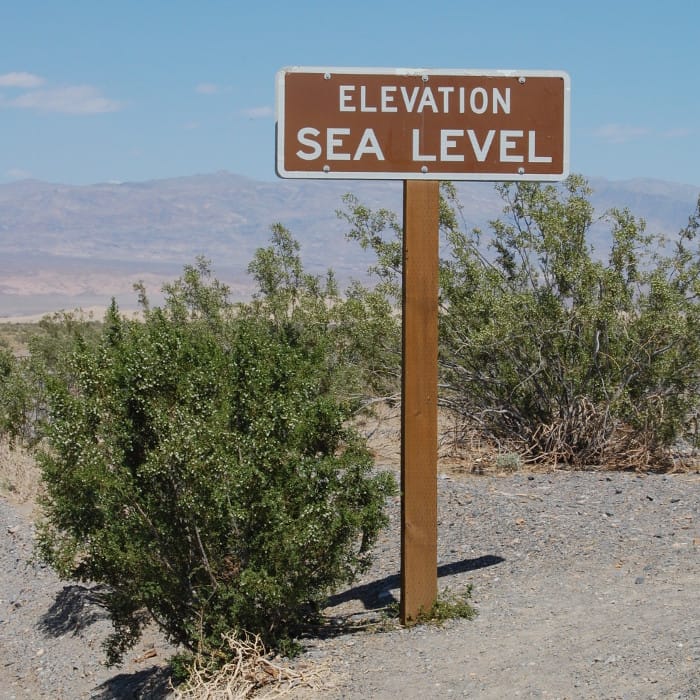
One of the most exciting features of BasicAirData GPS Logger is the automatic correction of the GPS altitude error. The main altitude measurement errors are due to the difference between the Earth mean Ellipsoid (the zero-reference of the GPS) and the real Earth Geoid. That difference depends on Latitude and Longitude.
Many models describe that Geoid; GPS Logger uses the NGA/NASA EGM96, N=M=360 Earth Gravitational Model, defined by the geoid height file hosted on the National Geospatial-Intelligence Agency site, to calculate the right altitudes over the sea level.
When The EGM96 Automatic Altitude Correction is selected for the first time into the Settings Screen, the app downloads the geoid Heights binary file from the OSGeo.org website. The size of that file is about 2 MB.
This is a one-time operation: once the EGM file has been downloaded, you can freely use, enable and disable the automatic Altitude Correction without any Internet connection.
However, in some cases, you would have the possibility to set up the EGM correction without use a internet connection. For example when:
- You already downloaded the EGM file, and you want to use it
- You installed GPS Logger on a phone that, for any reason, doesn’t have any Internet Connection (for example an old Device that you are using without SIM Card)
- You want to use the automatic correction with a different data set
In these cases, you can load the EGM file into GPS Logger by following these steps:
- Start GPS Logger and record a track. Then go on the Tracklist tab and export the track. The App could ask to select the exportation folder (On Android 4 the folder is not selectable: the app uses /GPSLogger)
- If you don’t have it yet, download the
WW15MGH.DACEGM file using your Personal Computer - Copy
WW15MGH.DACto your Android device, into the folder you selected at step 1. You can do it – for example – using a USB cable, or via Bluetooth - Go to Settings and enable the EGM Automatic Altitude Correction.
Once the EGM Altitude Correction is enabled, you can delete the file from the exportation folder, because GPS Logger made a copy of it into its private folder.